 | Surber Hiking Trails
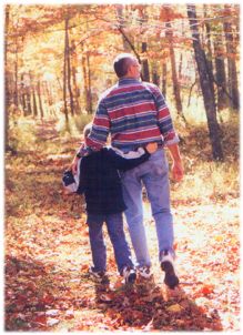
The maps below show walking trails available to guests of Olde Surber Station. Each trail is directly accessible from the farmhouse and was made from old wagon trails, deer trails, the old railroad bed and old paths. Some trails take you along the scenic Craig Creek, across still used swinging bridges and across abandoned old railroad bridges. Others take you through farmland and mountain paths. All of these trails are gentle.
There are more difficult hiking trails that lead up to the top of Patterson Mountain accessible from Old Surber Station. These trails are for the more adventuresome and physically fit. Always bring plenty of water when hiking. | Click on a map for an enlarged view
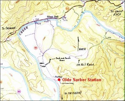
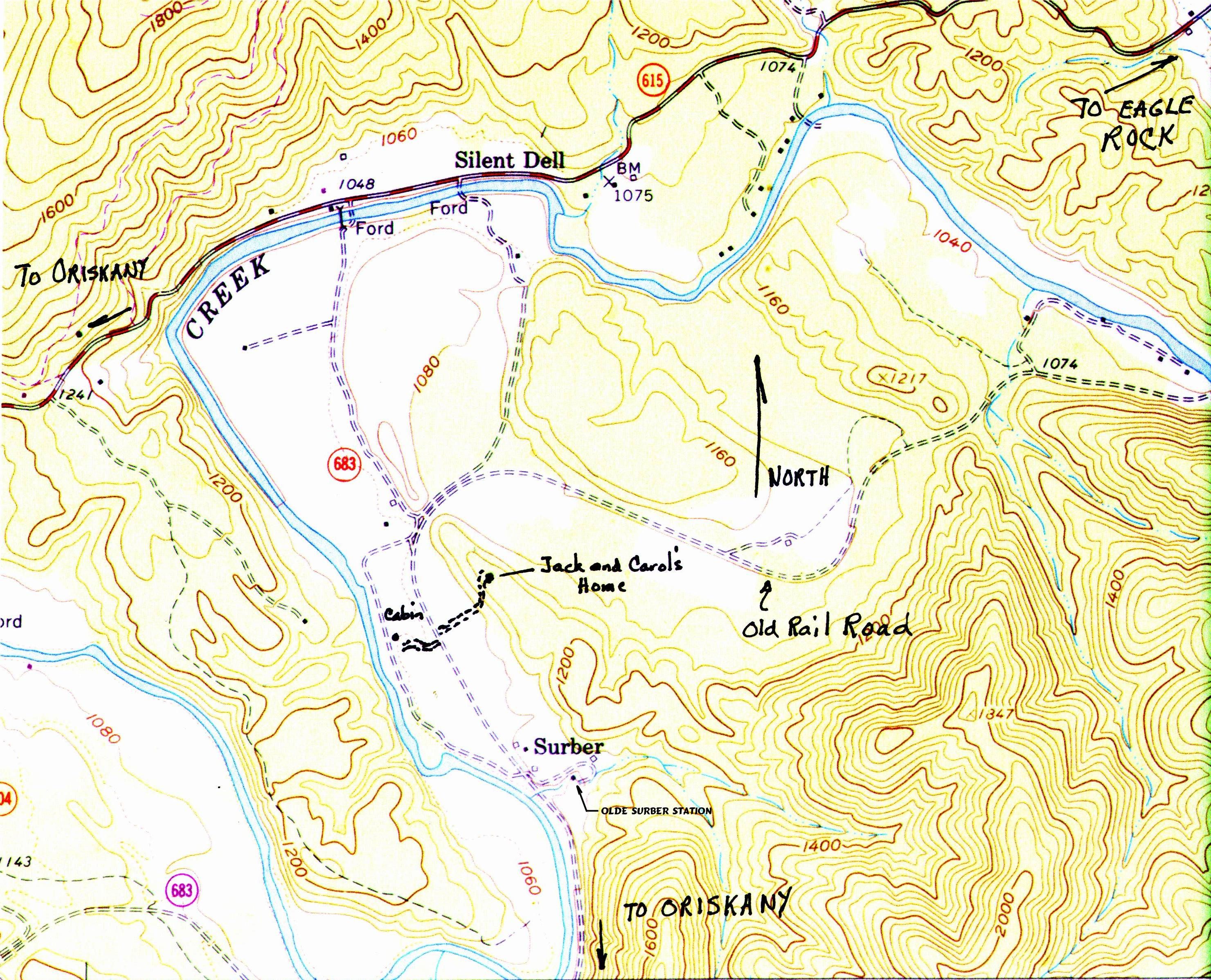
Map 1 - Overview
Shows Olde Surber Station in relation to Craig Creek, Old Railroad Bed and Route 615 (Craig Creek Road)
| 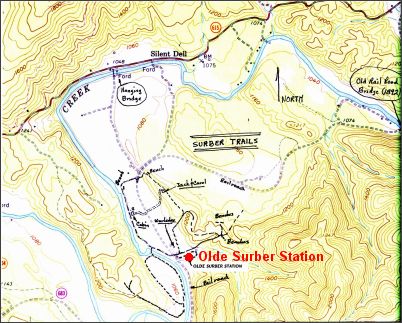
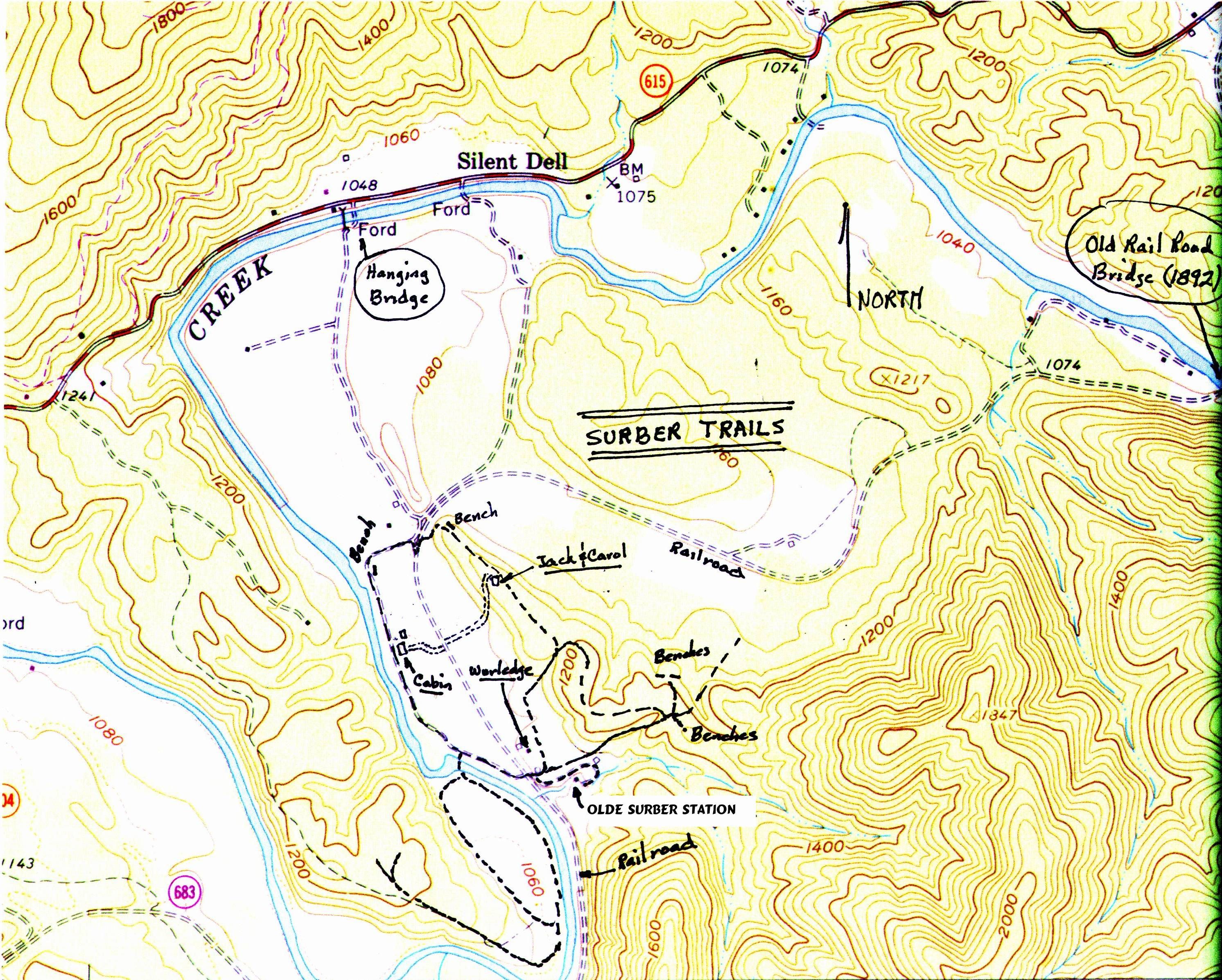
Map 2- Overview with Hiking Trails
Shows hiking trails and their location relative to Olde Surber Station, Craig Creek, Old Railroad Bed and Route 615
| 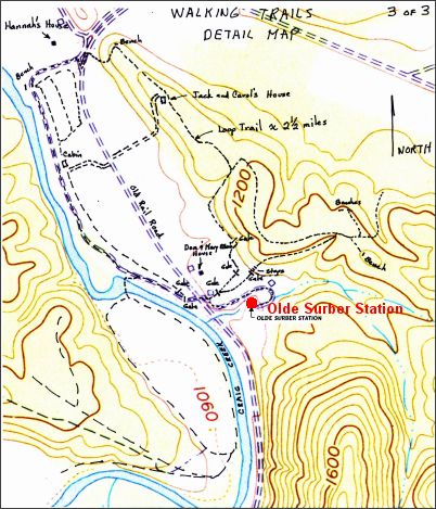
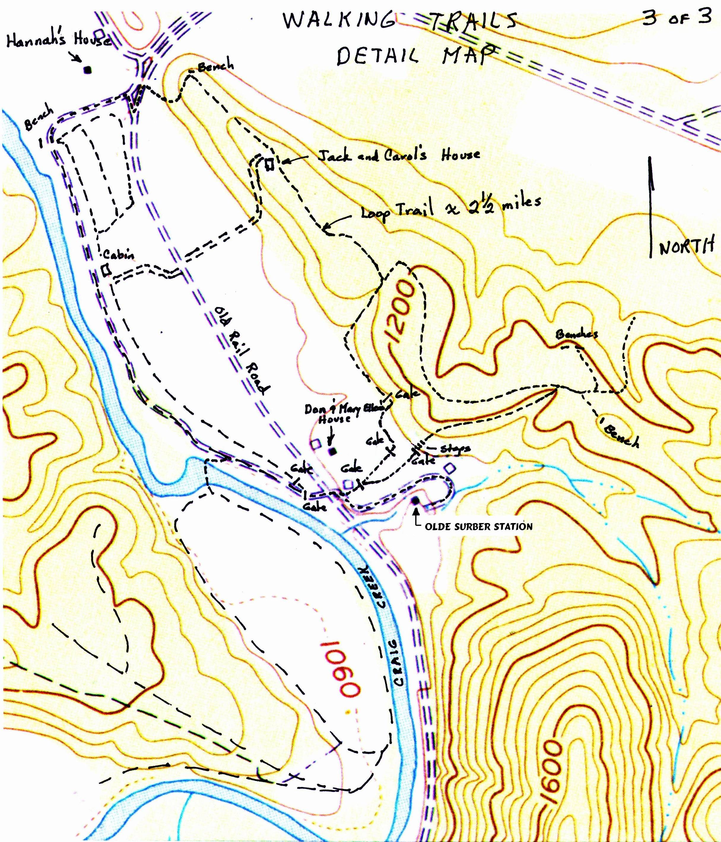
Map 3- Detail Map of Hiking Trails
Shows hiking trails and their access from Olde Surber Station
| |